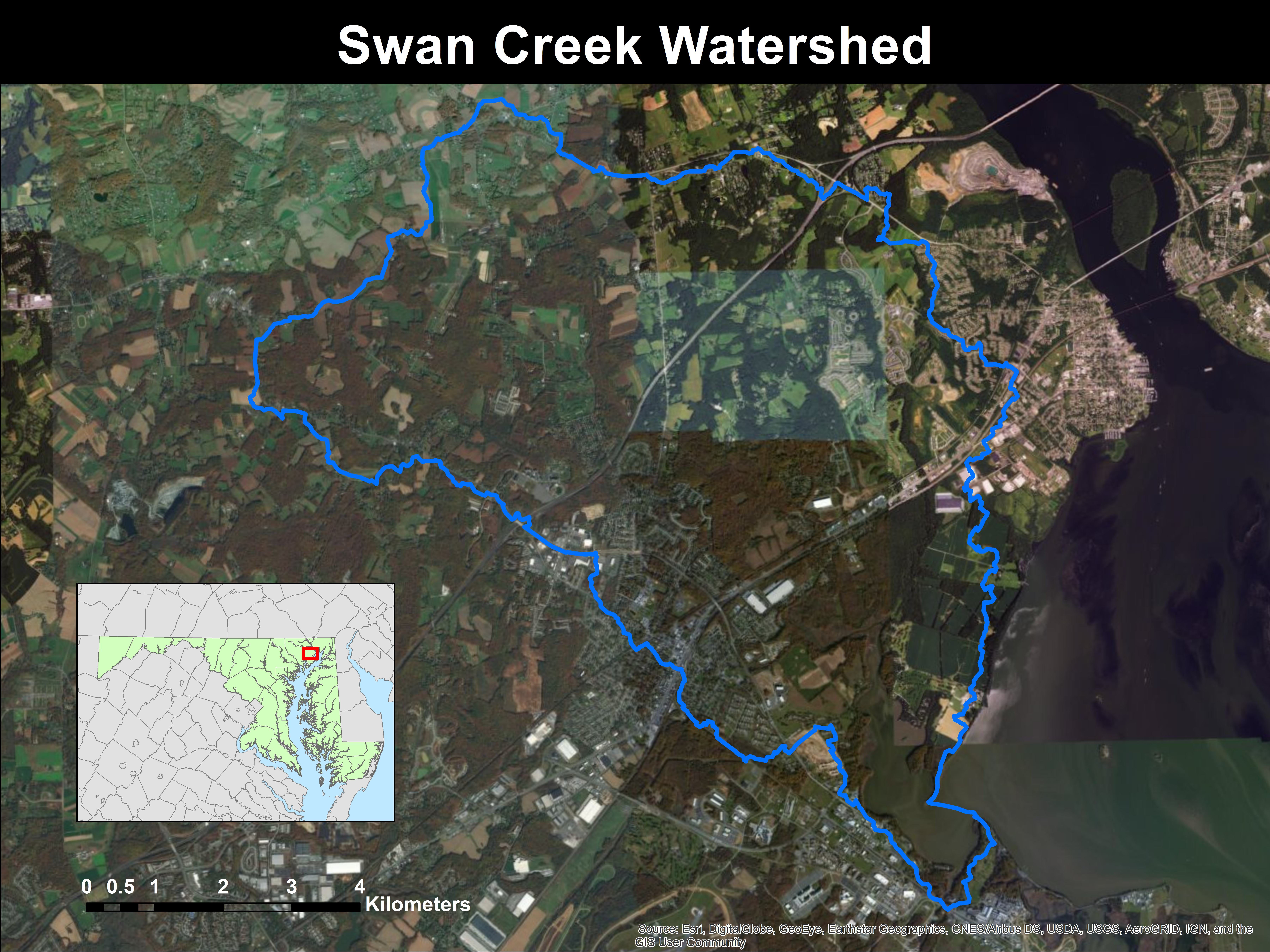
This map was produced using the ArcGIS hydrology toolset, which is available with the spatial analyst license. First, a USGS digital elevation model was downloaded and processed to smooth out any areas that were entirely surrounded by higher topography. Then, a flow direction raster and a flow accumulation raster were generated from the DEM. Next, I manually entered pour points where Swan Creek's extent ended and the watershed reach its final drainage point. Using the watershed tool, the flow direction/accumulation, and the pour points, I was finally able to generate a raster representing the limits of the Swan Creek Watershed. This was converted to a polygon for ease of visibility.