Geospatial Projects
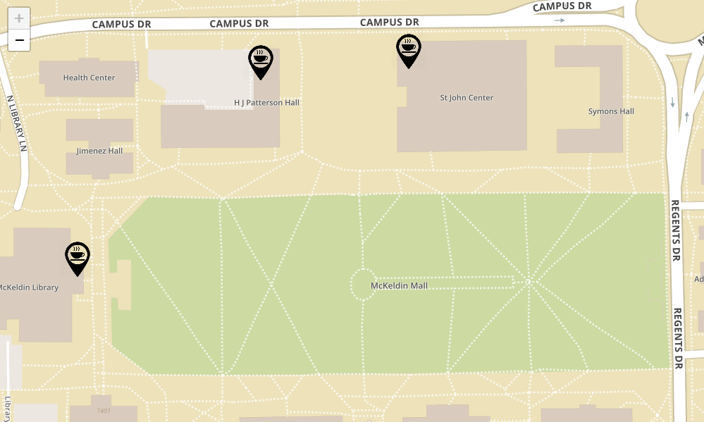
Find Coffee on UMD's Campus
My personal favorite project, this webmap displays which coffee shops are open on the University of Maryland, College Park campus given a user's selection for date and time.
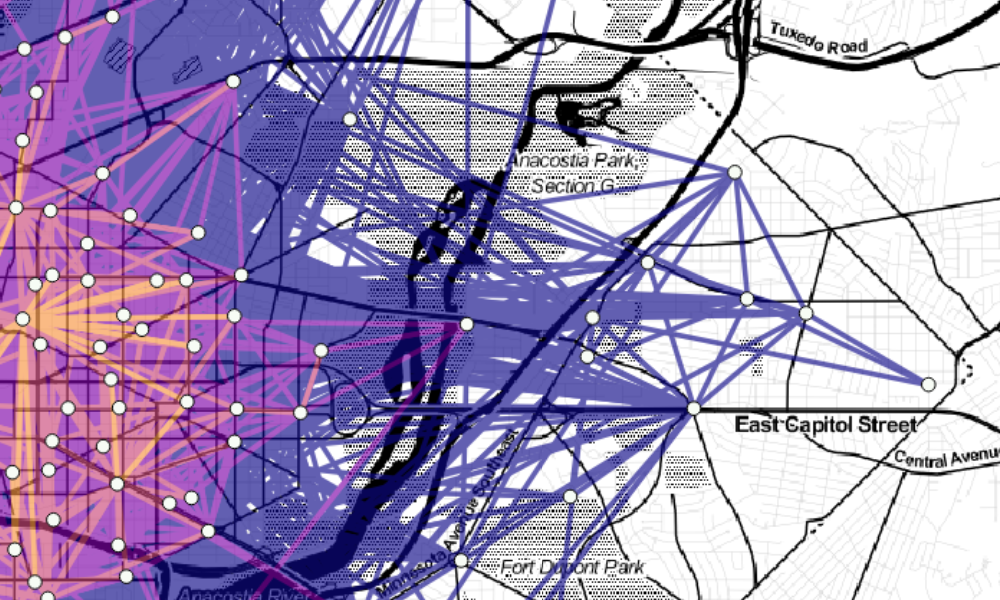
View ProjectMapping Bikeshare Trips in D.C. with PostGIS
Using PostgreSQL/PostGIS, I mapped all trips taken on Washington D.C.'s Capital Bikeshare system in June 2018. Check it out to see the power of spatial databases!
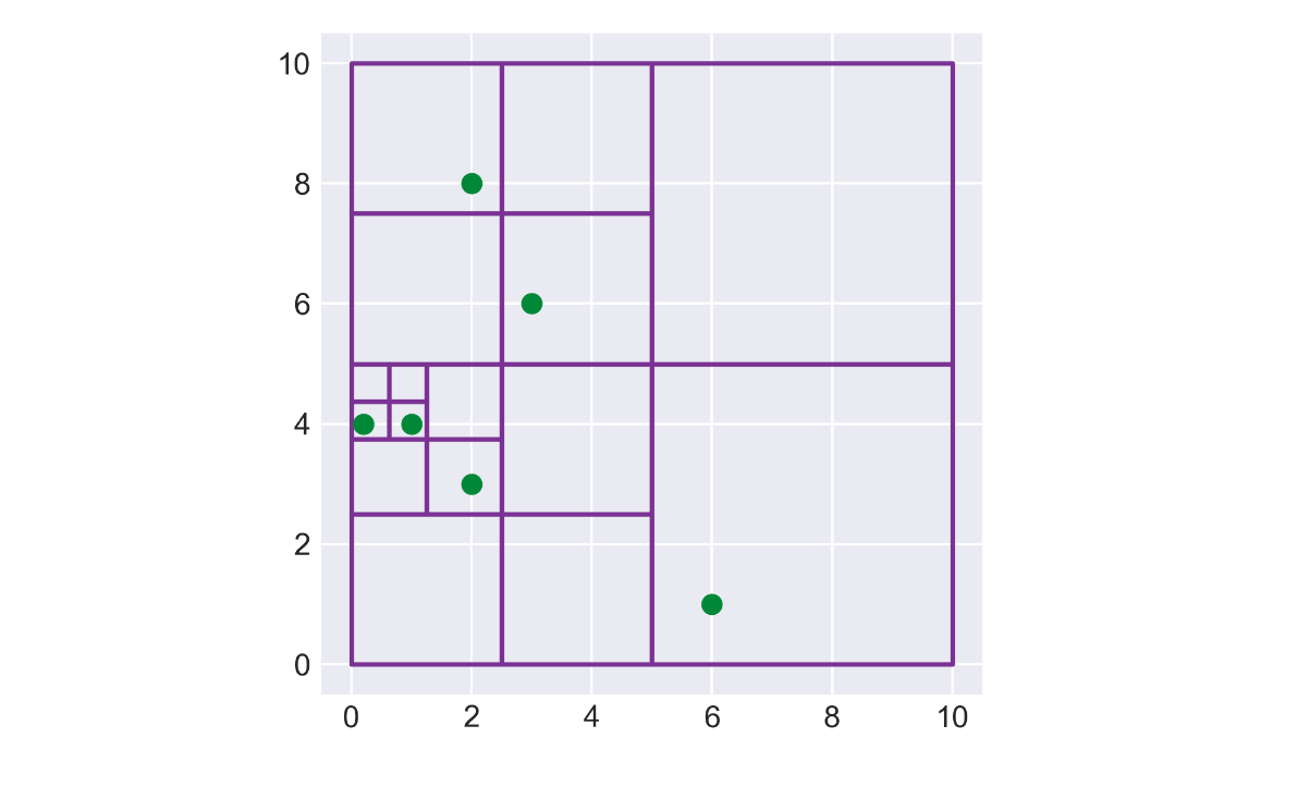
View ProjectBuilding Geospatial Data Structures: The PR-Quadtree
The PR-Quadtree is a commonly-used data structure for storing and accessing geospatial data. Here, I implement a PR-Quadtree in Python and use Matplotlib to visualize the data it stores
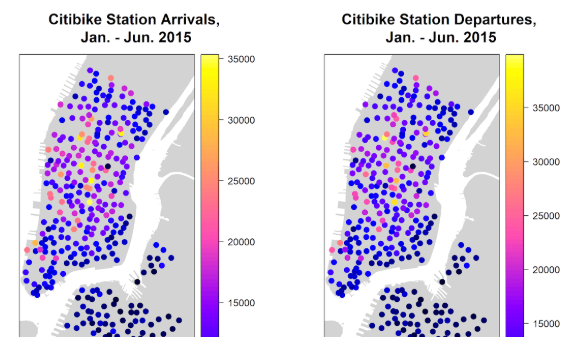
View ProjectAnalyzing NYC Bikeshare Ridership with R
For this project, I used R and its spatial packages to analyze factors that affect bikeshare ridership in New York's Citibike system.
View ProjectSenior Thesis: Using Python to Determine the Accuracy of Satellite Data
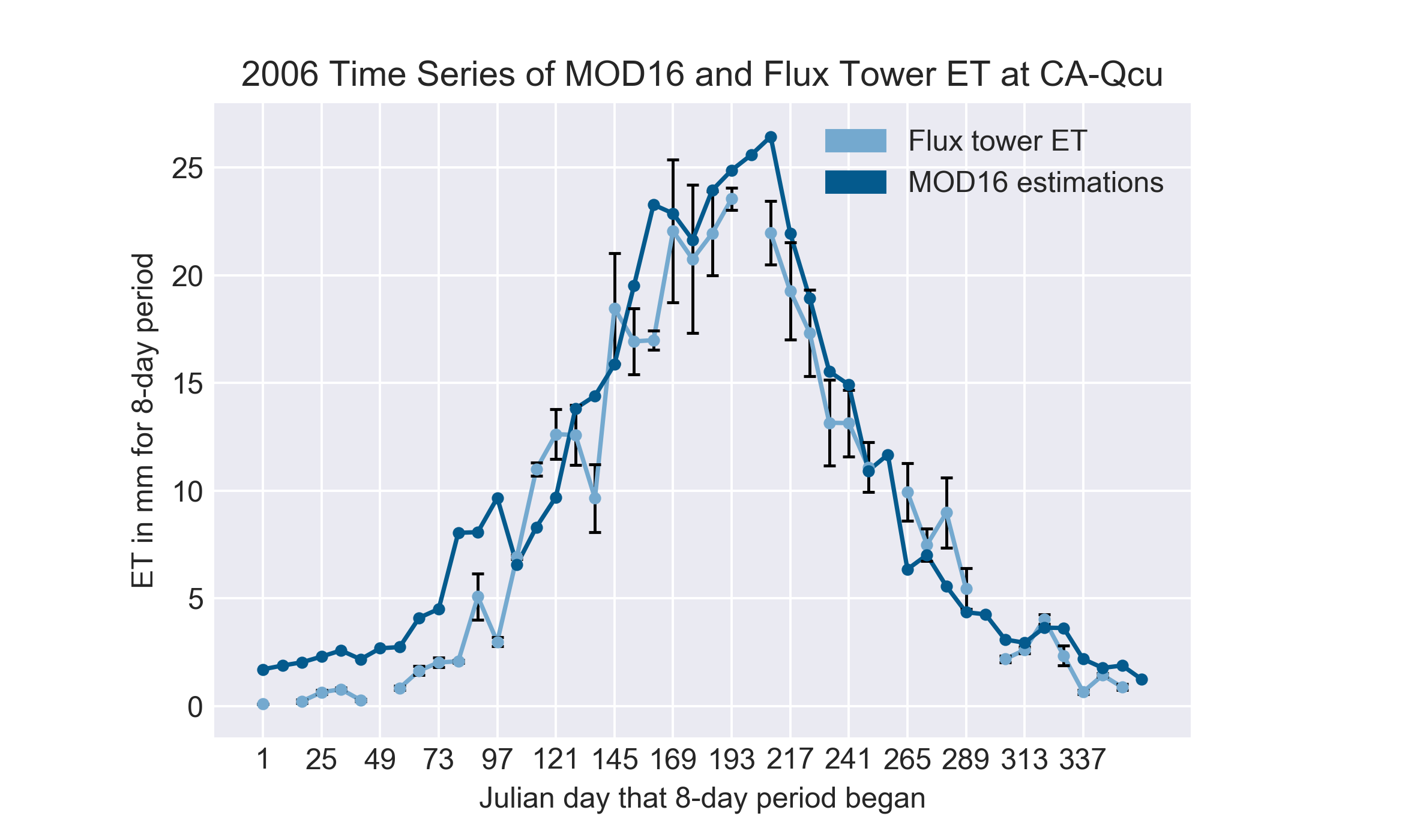
For my geology degree, I completed an independent research project under the guidance of Dr. Karen Prestegaard. This study focused on comparing the MODIS evapotranspiration (ET) estimates produced by the MOD16 algorithm with direct measurements of ET from flux towers in the Canadian boreal forest.
View ProjectWebmap of Commute Times in America
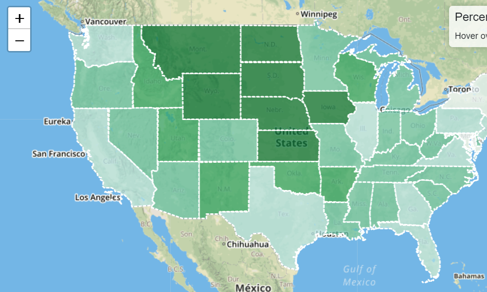
Created with leaflet, this webmap shows commute times in each US state. Commutes times are bracketed into three classes that can be selected by the user. Once a class is selected, the map displays, by state, the percentage of workers that have a commute somewhere in that range.
View ProjectWebmap of Electric Vehicle Charging Stations
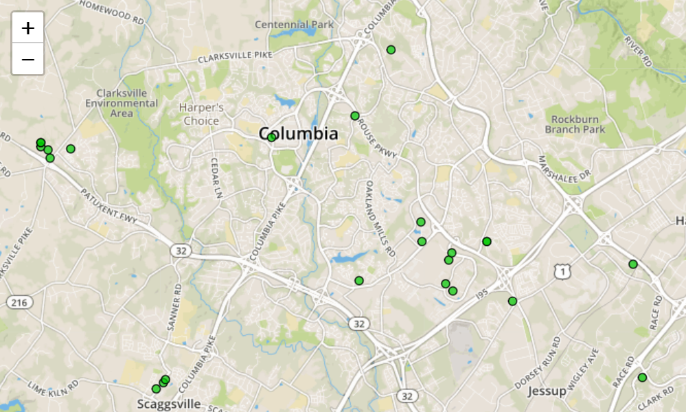
A simple Leaflet map that displays electric vehicle charging stations in Maryland.
View ProjectPython Geoprocessing with GDAL
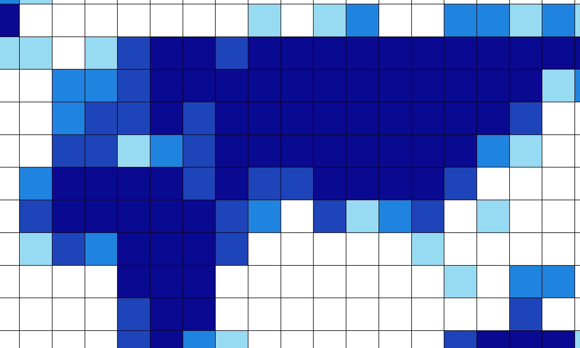
This map was made using the open-source geoprocessing library GDAL. I wrote a python script that incorporated GDAL to create a world grid that displays what percent of each cell is made up of dry land.
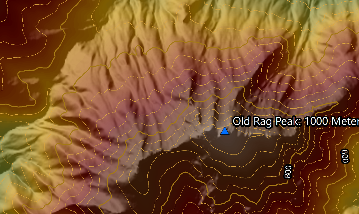
View ProjectTopographic Map of Old Rag Mountain
Created using USGS elevation data, this map displays the topography of Old Rag Mountain, located in Virginia's Shenandoah National Park. This project was inspired by a backpacking trip that lead me to Old Rag's peak.
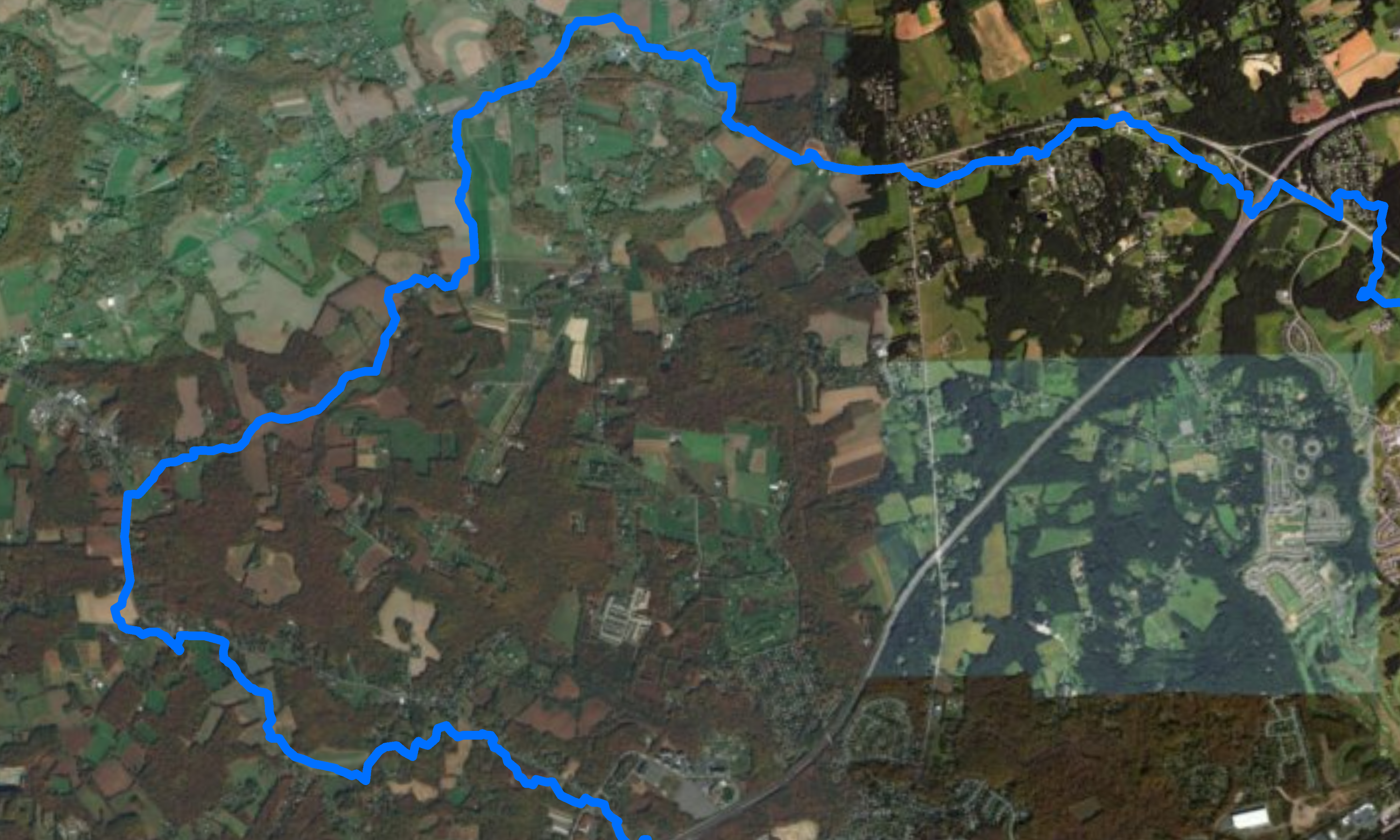
View ProjectSwan Creek Watershed Delineation
A watershed map for Swan Creek, located in Harford County, Maryland. This map was created in ArcGIS using the hydrology toolset.
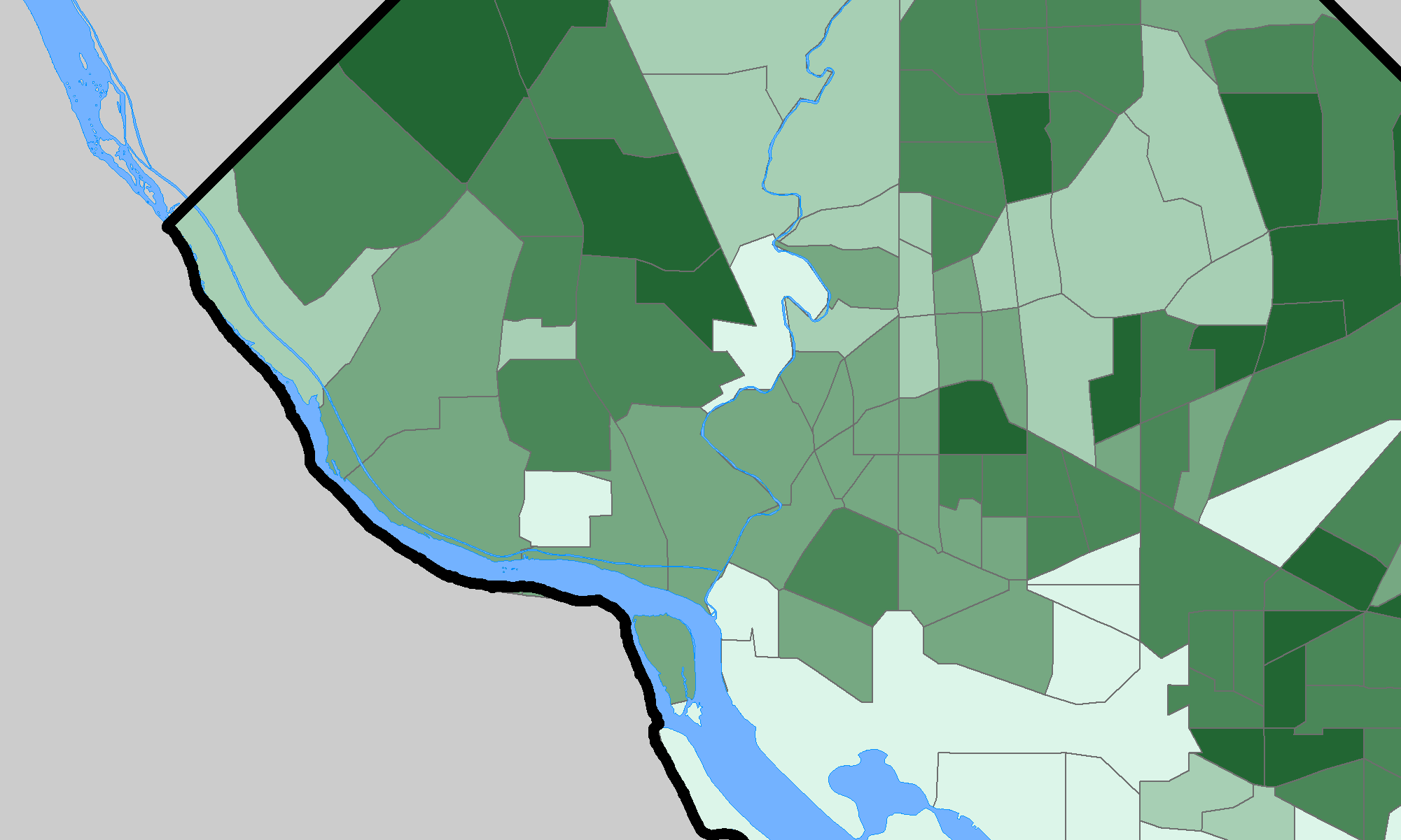
View ProjectUrban Trees in Washington, D.C.
Roadside trees in urban environments provide a wealth of benefits for nearby residents. This maps shows their density in each Washington D.C. census tract
View Project